
GIS Processing
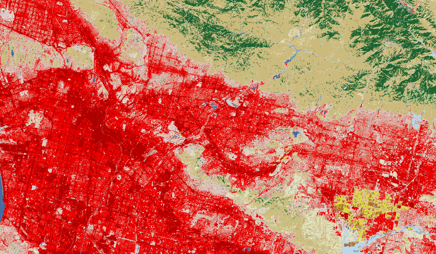
Geospatial data provides operators with critical information about a pipeline's location and surroundings. Integral Engineering works with a company's internal and publicly available spatial data to aid operators in correlating and overlay data sources. This coordination between both spatial and non-spatial allows operators to gain valuable insights about the key drivers of failure causes. To find out more about our experience or capability in helping your company with GIS data, send us a message.
Go back to Our Services